Advanced Air Mobility (AAM)

Advanced Air Mobility (AAM), Remotely Pilot Aircraft System (RPAS) and Autonomous Technologies Consultancy

Aviation Australia supports organisations to adopt RPAS, AAM and emerging autonomous technologies with confidence. Through workforce-focused consultancy, training and capability development, we help industry unlock new opportunities, improve operations and prepare their workforce for the future.

Specialisation streams

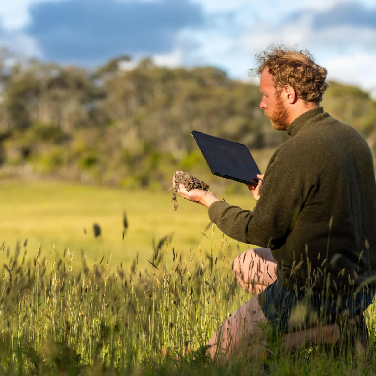
Agricultural Mapping & Precision Farming

Agricultural Mapping & Precision Farming

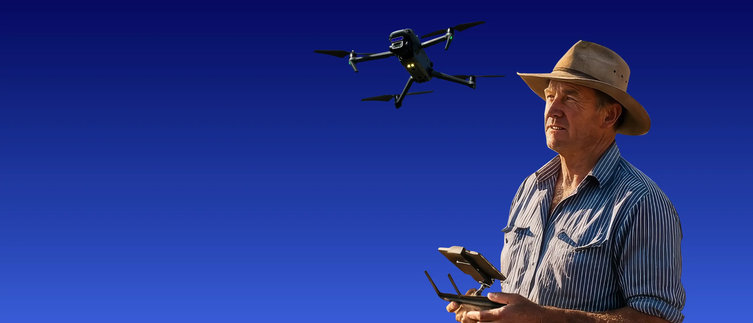
Begin your journey now for early career impact and develop real-world skills in aerial land surveying, crop health analysis (NDVI) and GIS-powered smart farming.

Gain a strong foundation in the techniques that are changing the landscape of modern agricultural operations.

Use aerial data to support smarter farming decisions.

Ideal For Learn
Growers
Agronomists
Farm managers
Agricultural contractors
Rural councils
NDVI crop monitoring
Agricultural mapping
Multispectral imaging
GIS workflows
Precision agriculture surveying

Your business future starts with capability.

Build your RPAS capability with Aviation Australia's industry-focused training pathways.  From Environmental & Marine Management or Agricultural Mapping & Precision Farming to upcoming Mining & Resources and Emergency Response & Disaster Management pathways, develop the skills and confidence to expand your drone operations and achieve better outcomes.

Industry Skills Program (ISP)

supported by:

QLD Logo

Develop the skills to safely and effectively integrate drone technology into your workplace through the Queensland Government’s Industry Skills Program (ISP). Gain practical knowledge in drone operations, aerial data capture, compliance and emerging technologies to improve efficiency, enhance decision-making and support innovation across industries including agriculture, environmental management, infrastructure, construction and asset inspection.

Funded training opportunities are available to eligible Queensland participants and businesses, helping build workforce capability in one of Australia’s fastest-growing technology sectors.

Are you an individual seeking to expand your remote pilot capabilities and apply your expertise in real-world operational environments?

Intake
Turn location data into actionable insights. Learn to capture, analyse and visualise spatial information using modern geospatial tools, supporting smarter decisions across environmental management, infrastructure, planning, agriculture and asset operations.

School Programs

Kickstart your Remote Pilot Journey

Fly. Learn. Future-Proof.

Take your learning to new heights with drone training while you’re still at school. Learn to fly, capture aerial imagery and explore the future of aviation technology, gaining hands-on experience that can set you apart for further study, apprenticeships and future careers.

Find Out More